STRIP Mapping
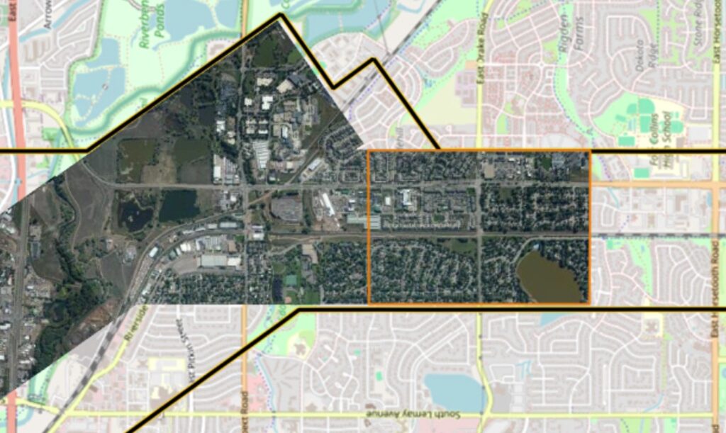
What is it? STRIP Mapping is a novel approach developed by WingMan for efficient corridor mapping applications. Utilizing the Phase One PAS280 camera sensor mounted in an along-flight-path orientation, this method acquires portrait-style imagery, leveraging its 20,000-pixel along-track width (14,000 across-track). This solution achieves superior color balance and remarkably reduces the number of images, seamlines, and orthorectification processing by 50%.
Who is using it? STRIP Mapping has been developed specifically for Corridor mapping applications such as utility ROW’s, pipelines, roads, and railways. Collection significantly increases the efficiency of capture and processing by reducing the number of images in a corridor mapping project, based on Wingman’s test flights supported by Phase One, Trimble/Applanix and Talos Aviation Group. Additionally, tandem imagery and LiDAR collection (with fewer or no GCP’s) can further reduce extra flight/project expenses.
Product information:
Contact: Joseph Mostowy, [email protected]