


February 23-25, 2027   |  Salt Palace  |  Salt Lake City, UT, USA

Attend

HARNESS THE POWER OF GEOSPATIAL

Geo Week brings together geospatial and mapping professionals to explore how data, maps, and advanced technologies can deepen our understanding of the world and inform solutions for complex challenges.  

Designed for decision-makers and problem-solvers, the conference program helps attendees solve real-world challenges by offering insights from industry leaders, peer-driven case studies, expert panels, and collaborative roundtable discussions. 

New technological innovations, the need for remote workflows, and hardware breakthroughs are rapidly redefining expectations across teams, organizations, and entire industries. The Geo Week tradeshow floor brings together cutting-edge tools and trusted vendors to help professionals make informed technology decisions and offers an unmatched space for peer-to-peer-networking. 

NETWORKING

All of the right people... 3,500 of them
End-users, regulators, service providers, solutions providers, and more. If they work in the geospatial industries, they’ll be here. They know Geo Week is where connections are forged, deals are made, and the industry comes together to drive its future.

EDUCATION

Practical, actionable education
You’ll have the opportunity to learn from professionals and technology leaders who understand the full spectrum of data needs, work processes, software integration and standards in both the geospatial and BIM worlds.

BEST-IN-CLASS SOLUTIONS

225+ Exhibitors
An exhibit hall brimming with the newest geospatial and built world products and solutions to qualify and compare. Hundreds of technical leads and users to pose questions of and engage with. There’s no better place to discover the best tools and how to maximize them.

KEYNOTES

What's now and what's next?
Where is the industry at this moment? What lies ahead? Geo Week convenes industry thought leaders who will share their expertise and provide essential insights, context and solutions in a series of can’t-miss keynote presentations.

WORKSHOPS

Technical training to advance your career
Anyone looking for hands-on training or demos related to the latest airborne, terrestrial, and underwater lidar technologies will find workshops and trainings from leading solutions providers.

EVENT PARTNERS

Powerful partnerships with ASPRS, RCN, and more
Geo Week is proud to partner with ASPRS and RCN to host conference sessions, in addition to powerful Industry Partnerships promoting thought leadership and collaboration throughout the year.

Persuade your boss

Download this example letter to let your boss know exactly why time out of office will prove to be valuable to your company and to yourself!

Group Disounts

Utilize our discount for groups of 5 or more and your company can be in different conference sessions, on the expo floor, or even both – all at the same time!

Stay in the know!

What to Expect

EXHIBITORS
0 +
ATTENDEES
0 +
CONFERENCE SESSIONS
0 +

Your Industry. Your Event.

Who Should Attend?

Whether you’re capturing data, managing infrastructure, or driving decision-making, Geo Week is where
professionals from across geospatial and connected industries come together to learn, network, and grow.

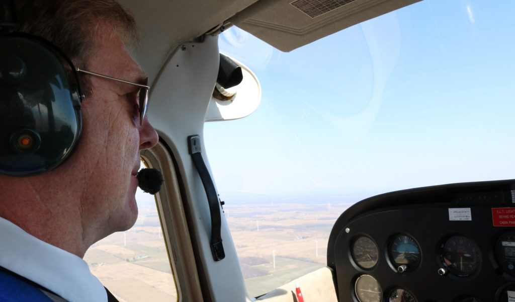
Aerial Mapping Professionals

DOT & Government Managers

Lidar
Users

Reality Capture Specialists

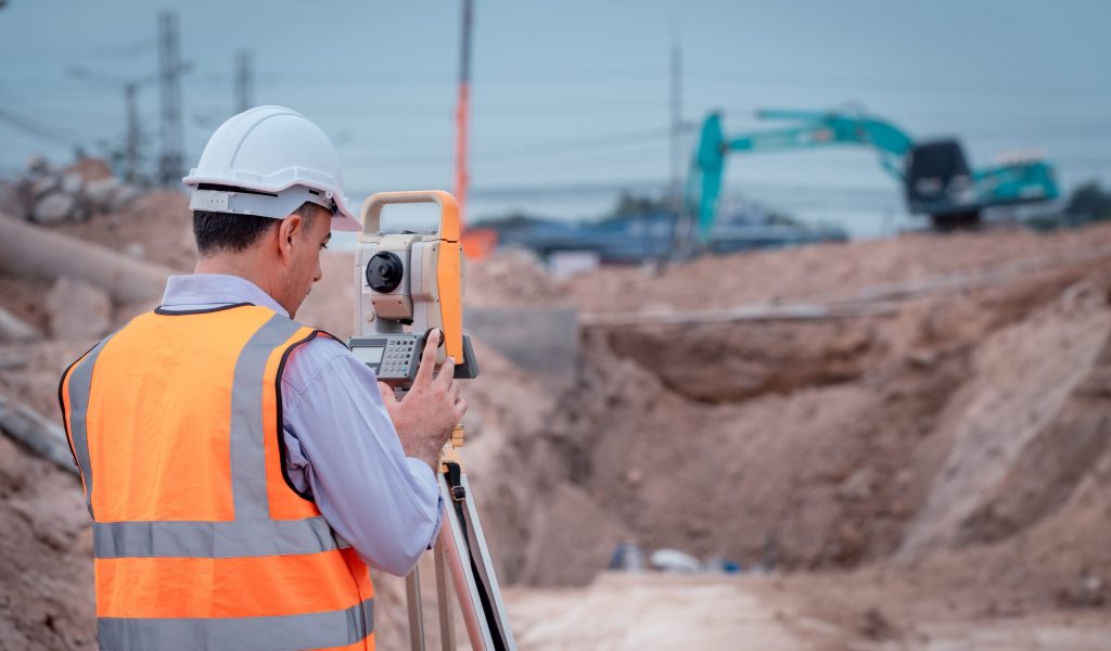
Surveyor,Engineers,Wearing,Safety,Uniform,,helmet,And,Radio,Communication,With

Land
Surveyors

Project
Managers

Who’s in the Room

Aerial Lidar Project Manager

Aerospace Engineer

Airborne Acquisition Manager

Architect

BIM Manager

BIM/VDC Manager

Civil Engineer

Data Scientist

Data Systems Manager

Dir Operations and Technology

Dir. of Lidar & Remote Sensing

Dir. of Systems Engineering

Facilities Manager

Federal Geospatial Director

Field Survey Manager

Flight Operations Manager

Geodesist

Geomatics Analyst

Geoscientist 

Geospatial Program Director

GIS Analyst/Photogrammetrist

GIS Engineer

GIS/UAS Specialist

Hydrogeologist

Innovations Manager

Integrations Engineer

IT Director

Lidar Product Leader

Mapper

Mechanical Engineer

Mgr of Reality Capture

Mobile Survey Specialist

Operations Director

Photogrammetrist

Product Manager

Program Director

Project Architect

Project Geophysicist

R&D Scientist

Reality Capture Team Leader

Remote Sensing Director

Snr Systems Engineer

Solutions Architect

Spatial Data Scientist

Structural Engineer

Surveyor and Mapper

UAS Senior Solutions Engineer

Virtual Design & Construction Manager

VP & Chief Scientist

VP Imaging Systems

VP Innovation

VP of Geospatial Services

VP Operations

VP, AEC Enterprise Solutions

Testimonials

What People are Saying

reflektar.io

What People Are Saying

Industry Breakdown