Topcon CR-S2
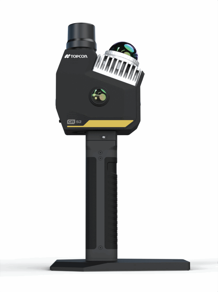
What is it? The Topcon CR-S2 is a handheld mapping system designed to capture highly accurate LiDAR data in places traditional scanners can’t reach. The CR-S2’s SLAM engine and network RTK capability delivers powerful, accurate 3D mapping in a truly portable design – perfect for tight or complex environments like construction sites, building interiors, and tunnels. Process locally, and move from scanning to decisions fast – the CR-S2 makes 3D capture effortless, reliable, and ready for real-world workflows.
Who is using it? Construction Industry, Vertical Construction, Utility Mapping, BIM, Mining, Land Surveying, Facility Management
Product information:
Contact: John Mullen, [email protected]