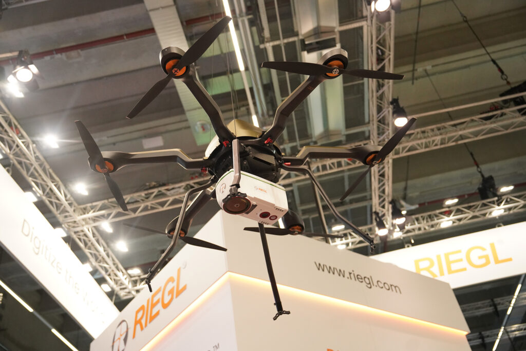
RIEGL VUX-820-G
What is it? The “All-In” Package for Topo-Bathymetric Surveying
The RIEGL VUX-820-G offers a new compact, fully integrated complete solution for surveying underwater structures and topography.
o Compact and powerful LiDAR sensor
providing up to 2.2 Secchi depth
o RIEGL RiLOC-F-inside inertial navigation system
o Integrated RGB camera to complement the LiDAR data with imagery
o RIEGL‘s proprietary software licenses for generating georeferenced and refraction-corrected point clouds
Who is using it? Organizations and survey teams performing topo-bathymetric mapping are using the RIEGL VUX-820-G. Its compact design and lightweight build of just 5.7 kg / 12.5 lbs make it ideal for UAV deployment, while features like a display and status LEDs simplify operation. By enabling easy integration and handling, this solution makes bathymetric LiDAR more accessible for professionals in hydrography, environmental monitoring, and coastal management.
Product information:
Contact: RIEGL USA Sales Team, [email protected]