RIEGL VQ-1060
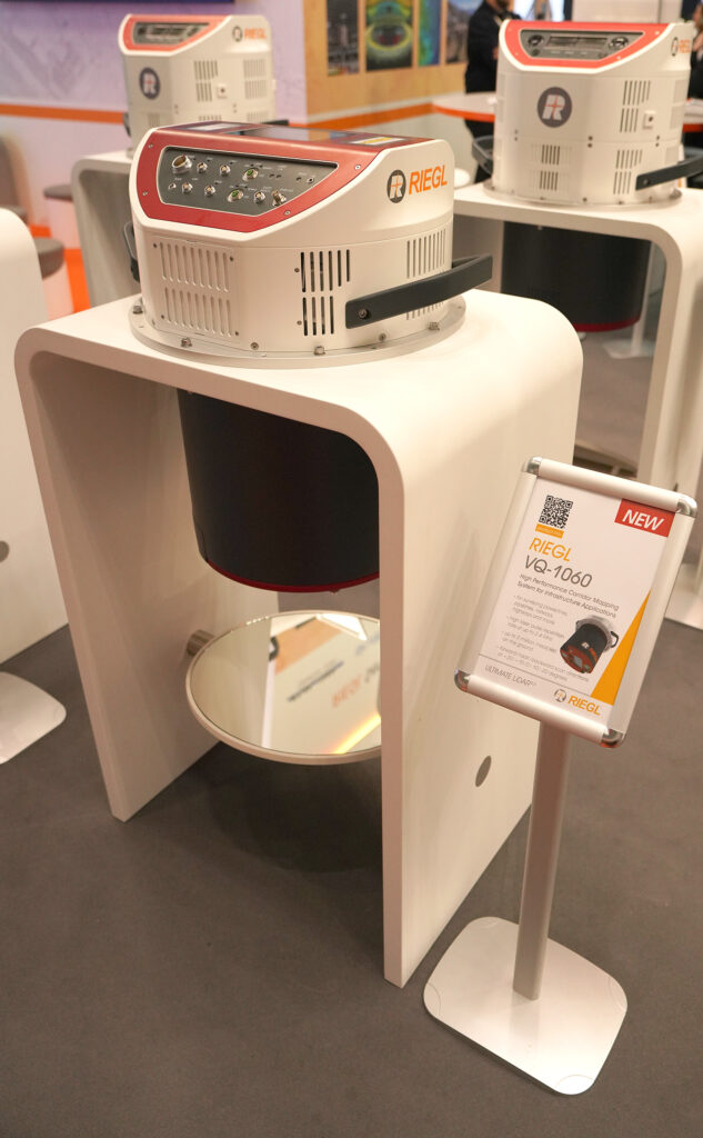
What is it? RIEGL’s VQ-1060 is an advanced aerial mapping system for powerline and corridor applications, combining multi-directional 3D laser scanning with forward/aft oblique RGB and nadir multispectral imaging in one streamlined platform.
o Delivers ~70 points/m² from 1500 ft AGL
o LiDAR swath width of ~1900 ft x 1250 ft (i.e. 60 deg HFOV; 40 deg VFOV)
o Captures ortho imagery at ~3.5cm GSD (average) (iXM-RS150 50mm)
o Captures oblique imagery at ~2.3 cm GSD (image center) (iXM-GS120 150mm)
Who is using it? Utility professionals are the primary users of the RIEGL VQ-1060. Whether conducting asset inspections, analyzing vegetation encroachment, or planning corridors, they rely on this system for ultra-high-resolution data with unmatched efficiency – all from a single instrument.
Product information:
Contact: RIEGL USA Sales Team, [email protected]