Pointerra3D Digital Surveyor Bundle
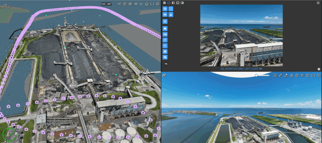
What is it? Pointerra3D’s Digital Surveyor Bundle unifies imagery and lidar in one ultra-fast cloud platform. In a recent demo, we processed a full lidar and imagery mission—from upload, calibration, classification, feature extraction, and orthophoto creation to digital delivery-all in about 30 minutes on a laptop with conference Wi-Fi. The only platform that unites every step of the geospatial workflow-delivering faster results, lower costs, and higher profits.
Who is using it? Used by surveyors, mappers, and GIS professionals across construction, utilities, mining, and infrastructure. Data from the field becomes accessible to the entire team in minutes – from field staff to the C-suite. Users leverage Pointerra3D to manage, process, analyze, and deliver massive geospatial datasets – accelerating decisions, improving accuracy, and setting new speed benchmarks for geospatial work.
Product information:
Contact: Brian Mayfield, [email protected]