Looq Platform
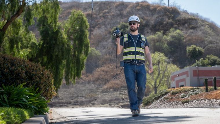
What is it? The Looq Platform is a one-stop solution for creating, visualizing, analyzing, collaborating, and integrating data to digitize the built world. qCam captures field data safely and efficiently, qAI constructs high-precision, georeferenced 3D models and 2D imagery, and qApp enables collaboration and insight. Unlike LiDAR-based systems, Looq’s camera-based, AI-driven photogrammetry delivers intelligent digital twins with survey-grade accuracy 100× faster and at a fraction of the cost.
Who is using it?
Surveyors, civil and T&D engineers, and infrastructure professionals in utilities, transportation, telecom, water, and construction use Looq to create digital twins for topographic mapping, inspection, modeling, and maintenance—streamlining workflows and improving safety and efficiency.
Product information:
Contact: Christine Byrne, [email protected]