TrueView GO
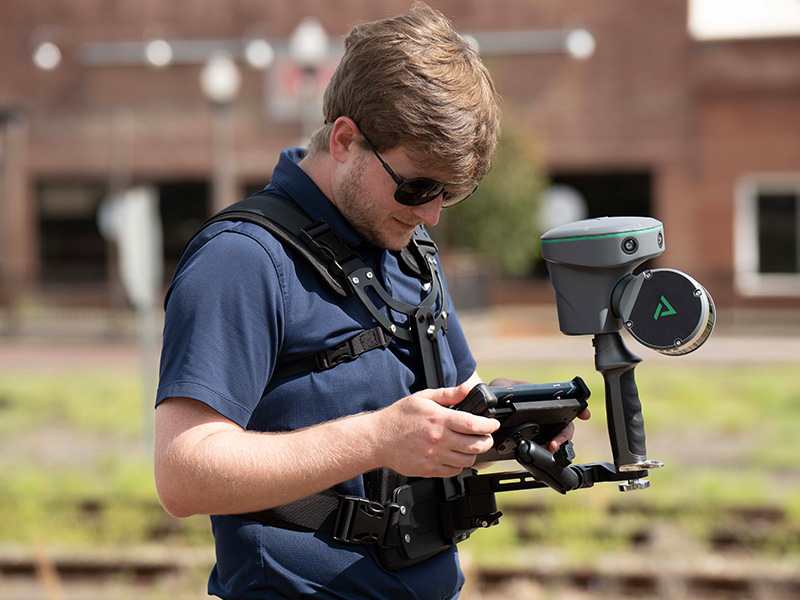
What is it? TrueView GO is GeoCue’s compact handheld LiDAR scanner built for fast, accurate 3D mapping without cables, backpacks, or complex setup. Powered by SLAM + GNSS and three 5MP cameras, it captures high-density, colorized point clouds indoors and outdoors. Paired with LP360 software, TrueView GO delivers a complete end-to-end workflow for professional, survey-grade data collection anywhere.
Who is using it? TrueView GO is used by geospatial and AEC professionals who need fast, accurate 3D data capture. Key users include surveyors, civil engineers, architects, BIM teams, public safety and forensics units, forestry and environmental specialists, facility and asset managers, heritage and cultural preservation teams, educators, and students focused on modern mapping workflows and as-built documentation.
Product information:
Contact: Bret Burghdurf, [email protected]