HELIUX XL
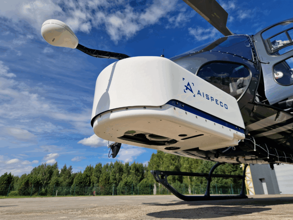
What is it? AISPECO Heliux XL is a scalable multi-sensor aerial system for helicopters, designed to collect diverse high-precision data in a single flight. Supporting up to nine LiDAR, RGB, thermal, hyperspectral, and positioning sensors in an FAA/EASA-approved pod, it requires no aircraft modification. Instead of changing pods or systems for each project, one flexible platform adapts to any mission.
Who is using it? Used by aerial mapping, surveying, and inspection professionals in power utilities, oil & gas, railways, mining, environmental and many other sectors. Operators, engineers, and geospatial specialists integrate LiDARs, cameras, and sensors in one setup – eliminating the need for multiple systems and reducing costs while ensuring precise, efficient data collection.
Product information:
Contact: Sandra Paskauskaite, [email protected]