3Dsurvey
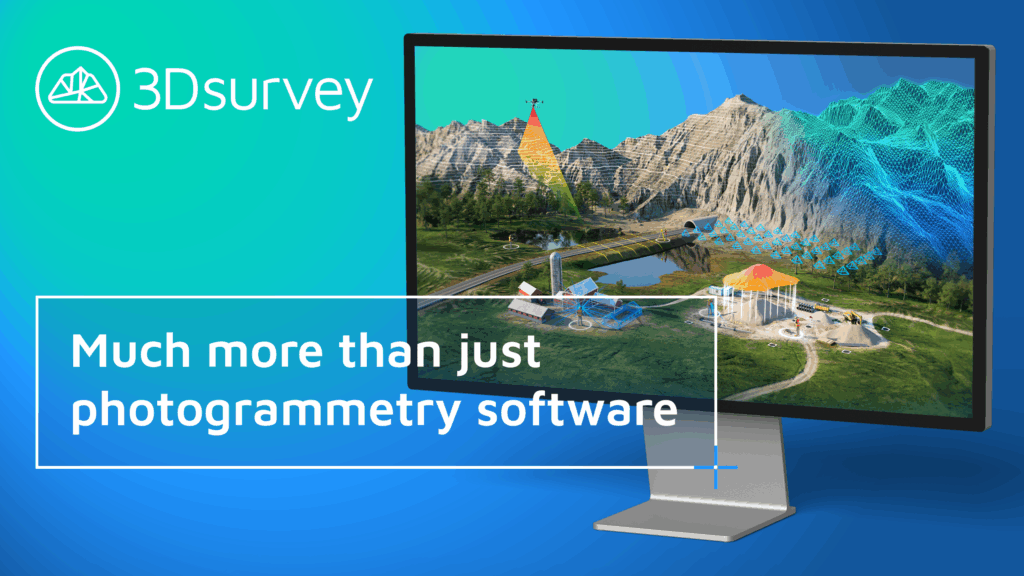
What is it? 3Dsurvey is an all-in-one photogrammetry software designed for professionals in surveying, construction and mining. Our powerful tools convert drone and terrestrial data into precise 3D models, orthophotos, and point clouds. With advanced add-on modules like RTK videogrammetry, LiDAR integration, and customizable workflows, 3Dsurvey enables you to complete entire projects seamlessly. Benefit from enhanced accuracy, speed, and ease of use. 3Dsurvey lets you make better decisions, faster.
Who is using it?
-Land Surveyors
-Construction Professionals
-Mining Engineers
-Architects & Planners
-Public Safety Teams
Product information:
Contact: Amy Nicol, [email protected]