Vulcan
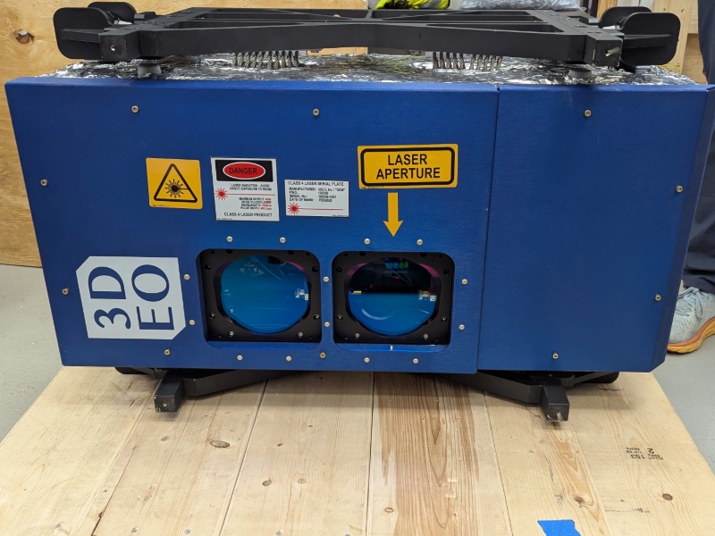
What is it? 3DEO’s Vulcan lidar is an airborne Geiger-mode lidar system that collects data for high resolution 3D point clouds at region scale. 3DEO’s patent-pending agile geo-referenced multi-axis scanning enables Vulcan to identify details from otherwise difficult scenes such as under forest canopies and within urban canyons. Flying at 10,000 ft (3 km) elevation, Vulcan can cover 700 km2/hour when configured to collect data supporting 50 product points per square meter.
Who is using it? Defense Intelligence, Surveillance, and Reconnaissance analysts, Forestry analysts, Wildfire Modelers, Infrastructure surveyors, Archeologists, Disaster relief coordinators, Urban planners.
Product information:
Contact: Dale Fried, [email protected]