Acadia
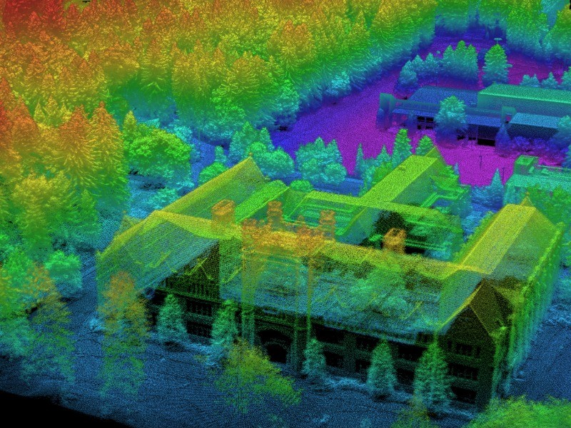
What is it? Acadia is 3DEO’s software suite for processing raw Geiger-mode lidar data into finished 3D point clouds, complete with derived metadata, height above ground and point confidence. Acadia registers data from 3DEO’s lidars with patent-pending agile geo-referenced scanning to create 3D point clouds with minimal shadowing. This software is scalable across a compute cluster, managing jobs and resources, and can accommodate third party modules into standard workflows as alternatives or supplements.
Who is using it? Defense Intelligence, Surveillance, and Reconnaissance analysts, Forestry analysts, Wildfire Modelers, Infrastructure surveyors, Archeologists, Disaster relief coordinators, Urban planners.
Product information:
Contact: Dale Fried,
[email protected]