BIG NEWS! Geo Week is heading to Salt Lake City, Utah in 2027
BIG NEWS! Geo Week is heading to Salt Lake City, Utah in 2027
NearMap
use this guide to stay organized and focused during the event. Make connections,
explore opportunities, and elevate your trade show experience!
Geo Week is taking place February 10-12, 2025 at the Colorado Convention Center in Denver, CO.
Download the official Geo Week. This interactive app is essential for geospatial and built world professionals attending and exhibiting at Geo Week. Users can:
Delve into dynamic courses and exclusive workshops designed to elevate your skills and drive tangible results.
$215 | MON FEB 16 | 8:00 AM – 10:00 AM MT
This workshop provides an in-depth look at the 2nd Edition of the ASPRS Positional Accuracy Standards published in 2024 to categorize positional accuracy of products derived from digital aerial cameras, manned and unmanned aerial systems, and all types of lidar including terrestrial, mobile, and airborne. The workshop will explain the basis for each accuracy measure adopted in the standards and will highlight important features of the six Best Practices Addendums.
$215 | MON FEB 16 | 8:00 AM – 10:00 AM MT
Airborne bathymetric lidar is one of the most exciting and rapidly-advancing technologies in the geospatial sector. Its uses range from safety of marine navigation (i.e., hydrographic surveying and nautical charting), to sediment transport modeling, benthic habitat mapping and monitoring, marine ecological assessments, flood inundation modeling, river morphology, coastal engineering, and more. This workshop is designed for geospatial professionals, students, and even those new to the field who are interested in learning more about lidar bathymetry. We will start with a brief history and theory of bathymetric lidar, including terminology, system components, and acquisition principles. We will then cover operational concepts, including mission planning, data processing and workflows, calibration, QA/QC, and accuracy assessment. We will conclude with a view of the future of airborne bathymetric lidar, including emerging trends and anticipated advances over the next decade.
$215 | MON FEB 16 | 8:00 AM – 10:00 AM MT
The workshop will focus in depth on Addendum VI of the 2024 ASPRS Positional Accuracy Standards: Best Practices and Guidelines for Mapping with Oblique Imagery. As oblique imagery continues to gain traction in applications such as urban planning, infrastructure management, and environmental monitoring, practitioners will play a pivotal role implementing an operational framework that ensures consistency, quality, and interoperability. This workshop will provide real world examples of the large oblique imagery projects with applications of the guidelines.
$215 | MON FEB 16 | 10:30 AM – 12:30 PM MT
Lidar is becoming the backbone of the geospatial mapping production methods. Whether onboard a crewed or uncrewed aircraft, Lidar productivity and accuracy surpassed any current methods used to produce terrain data. Participants in the workshop will gain knowledge on current and emerging lidar technologies including lidar, Geiger, and Single Photon lidar; data quality, accuracy and accuracy standards, including ASPRS and USGS Lidar Base Specifications.
$215 | MON FEB 16 | 10:30 AM – 12:30 PM MT
This workshop covers the common knowledge areas comprising a large portion of exam content for ASPRS Certification. It is valuable preparation for those who have never taken an ASPRS exam, as well as for those who have expertise in a particular specialty, such as lidar or UAS, but feel less prepared for the general knowledge component of the exam. This workshop will also explain the certification application process and the importance of certification in career development.
$215 | MON FEB 16 | 10:30 AM – 12:30 PM MT
Digital Twins start with reality and the most effective way to capture it today is from the sky. From drone flights and sensor payloads to high-altitude aerial surveys and satellite collections, data capture is the entry point into a larger system of truth. This workshop goes end-to-end showing flight planning and data capture, data processing, insight extraction, and data sharing.
$215 | MON FEB 16 | 1:00 PM – 3:00 PM MT
This workshop teaches the fundamentals of creating controlled map products and 3D models from UAS-mounted lidar systems. Participants will learn to successfully design projects in accordance with ASPRS Positional Accuracy Standards, including flight planning, ground control placement, lidar system calibration, point cloud processing, product generation, quality control, and accuracy assessment. These concepts will be taught with a software-agnostic approach that is applicable to any commercially available package. Topics covered in this workshop are representative of those included on the ASPRS Certified Technologist and Certified Mapping Scientist examinations.
$215 | MON FEB 16 | 1:00 PM – 3:00 PM MT
This workshop clarifies Geo AI and its role in creating and maintaining digital twins. Participants will explore how artificial intelligence can transform geospatial data—from imagery and lidar to sensor feeds—into actionable insights for infrastructure, urban planning, and asset management. Through real-world examples and interactive discussion, attendees will gain a clear understanding of the tools, workflows, and opportunities driving the next generation of intelligent digital twins.
$215 | MON FEB 16 | 1:00 PM – 3:00 PM MT
This workshop explores the utilization of advanced mobile mapping systems equipped with high-resolution imaging and lidar sensors to support the generation of digital twins across diverse domains. Participants will examine workflows for capturing, processing, and integrating geospatial data into accurate models that enhance decision-making in transportation networks, forestry management, and urban planning. Emphasis will be placed on data/product quality assurance and quality control, AI-assisted feature extraction, and cross-sector applications, highlighting how these technologies drive innovation, sustainability, and operational efficiency.
$215 | MON FEB 16 | 3:30 PM – 5:30 PM MT
This workshop teaches the fundamentals of creating controlled map products and 3D models from UAS-mounted camera systems. Participants will learn to successfully design projects in accordance with ASPRS Positional Accuracy Standards, including flight planning, ground control placement, camera calibration, block adjustment, product generation, quality control, and accuracy assessment. These concepts will be taught with a software-agnostic approach that is applicable to any commercially available package. Topics covered in this workshop are representative of those included on the ASPRS Certified Technologist and Certified Mapping Scientist examinations.
$215 | MON FEB 16 | 3:30 PM – 5:30 PM MT
The workshop will focus in depth on Addendum II of the 2024 ASPRS Positional Accuracy Standards: Best Practices and Guidelines for Field Surveying of Ground Control and Checkpoints. It will address practitioner concerns regarding the collection methodologies for field survey data, as well as in-office processing and quality control. The workshop will provide attendees with detailed explanations for collection, processing, and reporting to ensure that ground control and checkpoints intended for use with aerial survey meet the published requirements.
$215 | MON FEB 16 | 3:30 PM – 5:30 PM MT
This workshop will introduce participants to applying deep learning techniques for processing optical remote sensing data, covering the fundamentals of deep learning, building models from scratch, and leveraging pre-trained models for image classification with PyTorch Image Models (TIMM) and image segmentation with Segmentation Models PyTorch (SMP). Attendees will also learn how to create custom data loaders to train or fine-tune models on their own datasets, work on the free Google Colab platform, and set up a local deep learning environment. All code and datasets will be provided to ensure participants can continue practicing beyond the session.
MON FEB 16 | 9:30 AM – 11:30 AM MT
Cost: FREE
This workshop is not automatically included with any registration. It can be added on through the general registration process.
Why does it matter what labels we use for the objects we survey? As data moves across teams, software, and state lines, consistent and unambiguous feature names are essential to avoid confusion and costly errors. Standardized feature codes form the backbone of automated workflows, digital twins, and integrated project delivery. This workshop introduces the draft national feature code library developed under NCHRP 08-174 and explores how it can improve interoperability, streamline automation, and reduce project costs. Participants will be able to review the system, discuss use cases, and provide feedback to help shape a unified national standard.
MON FEB 16 | 8:00 AM – 12:00 PM MT
Cost: FREE
This workshop is not automatically included with any registration. It can be added on through the general registration process.
This educational Workshop/Panel Session focuses on the basic concepts and best practice of high-precision mapping using integrated LiDAR/Camera systems in land, airborne and marine environments. This workshop/panel session is tailored for
The following topics will be addressed in this workshop:
In partnership with onPeak, we have secured discounted rates for the Official Event Hotel:
Hyatt Regency Denver at Colorado Convention Center
Colorado Convention Center is located at 700 14th St, Denver, CO 80202
Deadline to Book: January 30, 2026
To qualify, complete all four steps:
Register for Geo Week
Secure your pass and officially begin your adventure.
Invite a Colleague
Send an invitation through the Geo Week registration portal and bring a fellow explorer along.
RSVP and Share the Geo Week LinkedIn Event
RSVP to the official LinkedIn Event and share it with your network.
Subscribe to Geo Week News
Subscribe to our weekly newsletter for curated geospatial news, expert perspectives, and technology developments shaping the industry.
Lunch and concessions are not included with any Geo Week badge for attendees, exhibitors, or speakers, but are available for purchase onsite. New this year, concessions will be open for extended hours. This will allow access to a wider range of lunch, snacks, and beverages to purchase at your leisure when concessions are open. Concession hours and sample offerings will be posted in advance of the event.
Complimentary coffee will be available during select coffee breaks. Complimentary beverages and light appetizers will be available during networking receptions.
Craft your ideal itinerary tailored to your interests and goals! Explore diverse sessions, workshops, and networking opportunities to make the most of your experience. With flexibility at your fingertips, design a schedule that aligns perfectly with your objectives and maximizes your time at the event.
Familiarize yourself with the exhibit hall floor plan to optimize your event experience. Identify companies that align with your interests and locate networking areas where you can engage in insightful discussions and knowledge exchange.
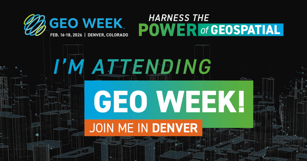
Share the news that you are attending Geo Week and you will automatically be entered to win two free conference passes to next year’s event. Click any image below to share your referral link now!
Geo Week is elevating sustainability within the geospatial and built world community.
Review Geo Week’s Elevating Sustainability initiative for information on how the event is adopting green practices and how you can do your part.
As a first-time attendee, we’re here to ensure you feel confident and equipped to make the most of your experience. From navigating the exhibit hall to mastering networking opportunities, we’ve got you covered every step of the way.
Trade shows are long days. Bring essential items like business cards, comfortable shoes, a portable charger, a reusable water bottle, a notebook and pen, and any necessary identification.
Prepare a brief elevator pitch introducing yourself and your company. Bring plenty of business cards to exchange with potential contacts. Research exhibitors and speakers beforehand to identify key people you’d like to connect with.
Review the schedule in advance and prioritize sessions that align with your interests and goals. Take notes during sessions and don’t hesitate to ask questions. Engage with speakers and fellow attendees to foster meaningful discussions.
The exhibit hall is where companies showcase their products and services. Take time to explore different booths, interact with exhibitors, and collect information. Be open to learning about new products and industry trends.
Wear whatever makes you comfortable. You’ll find most attendees in comfortable yet professional attire suitable for networking and walking around the venue. Consider bringing a light jacket or sweater because the exhibit hall and conference rooms can sometimes be cool.
Registrations may be cancelled if written notice is timely provided to [email protected]. Paid registration fees are non-refundable after January 16, 2026. All cancellations issued prior are subject to a 50% cancellation fee. Substitutions of registrants may be made to other employees at the same company at any time up to the start of the Event. Once a badge (either physical or virtual) is issued it cannot be transferred to another. Those in attendance whose identity does not match an issued badge may be removed and precluded from participation in future Diversified events. If an event is canceled by Diversified and a registrant does not timely request a refund or confirm what other event or service the fees should be applied toward, such fees will be forfeited.
Please contact [email protected].