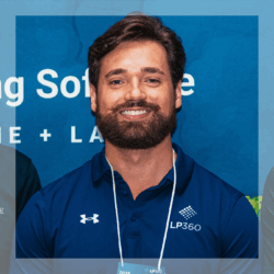
Thadeu Ribas Lugarini is a Civil Engineer and Geospatial Engineering Specialist with extensive experience in aerial mapping, LiDAR, bathymetry, topography, and advanced spatial-data processing. He works as a Technical Support Engineer for LP360 at GeoCue Group, providing expert assistance to companies across Latin America and the world in the use of TrueView sensors and professional point-cloud workflows.
With a strong background in photogrammetry and over 600 processed flight cycles, Thadeu has led and supported complex projects involving integrated aerial and terrestrial LiDAR, topobathymetric modeling, hydrological analysis, sensor calibration, and advanced QA/QC procedures. His experience includes large-scale environmental and water-resource studies, elevation–area–volume modeling, reservoir monitoring, geomorphological analyses, and comprehensive LiDAR classification workflows.
Thadeu is also an active presenter and educator, speaking at industry events such as GeoCue DemoDays, and delivering trainings on LP360 about Strip Align, POSPac, Ortho Mapping, and specialized geospatial workflows. Known for his technical precision and ability to bridge field execution with high-level data processing, he contributes to elevating quality standards and operational efficiency in geospatial mapping across Brazil and internationally.