Some of the most valuable capture work happens where standard workflows break down. This block brings two field accounts of engineering the workflow around the site rather than the template. The first draws on geomatics and drone operations at the Grand Canyon, Pearl Harbor, West Point, the Golden Gate Bridge, dams, and rail corridors, covering airspace, access, security, control, and quality planning before mobilization. The second is an unvarnished account of mapping 200 acres after the 2025 Wolf Fire in Saskatchewan with lost GNSS equipment, no RTK network, aerial firefighting overhead, and nightly uploads over intermittent Starlink.
10:30 AM – 11:00 AM
From the Grand Canyon to Pearl Harbor: Engineering Advanced Technology Workflows for the World’s Most Complex Environments
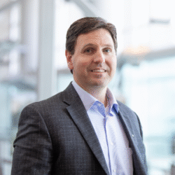
Presented by Carlos Femmer, HDR Engineering, Inc.
Some of the most valuable applications of drones, lidar, photogrammetry, and digital twins occur in environments where conventional geospatial workflows are least likely to succeed. Remote terrain, restricted airspace, active military installations, historic structures, critical infrastructure, limited access, security requirements, and demanding accuracy standards can quickly expose weaknesses in project planning and execution.
This session will examine lessons from complex geomatics and drone operations conducted at the Grand Canyon, Pearl Harbor, West Point, the Golden Gate Bridge, major dams, military bases, rail corridors, and other high-consequence infrastructure environments. Each project presented a different combination of operational, regulatory, technical, and logistical challenges that required the workflow to be engineered around the site rather than applied from a standard template.
At the Grand Canyon, remote terrain, operations below the rim, environmental constraints, and limited access required detailed mission planning and adaptable field procedures. At Pearl Harbor, restricted airspace, active military operations, security requirements, runway coordination, and sensitive infrastructure demanded close collaboration among pilots, engineers, installation personnel, air traffic stakeholders, and project leadership. At West Point, the documentation of a historic facility at Thayer Hall required high-resolution capture of roofs and facades while working within an active and highly controlled environment.
Additional case studies will illustrate the challenges of inspecting bridges and dams, documenting transportation assets, operating near active runways, capturing large federal installations, and integrating multiple sensors where one platform or data source could not meet every project requirement.
The session will show how successful teams plan for airspace, access, control, sensor selection, accuracy, cybersecurity, field quality control, data management, and client communication before mobilization. It will also examine how drones, lidar, thermal imaging, CAD, digital twins, and artificial intelligence can be integrated without allowing technology to overshadow the engineering objective.
Attendees will leave with a practical framework for designing repeatable but adaptable workflows for complex environments. The central lesson is that difficult projects are rarely solved by a single technology. They are solved through disciplined planning, defensible data, strong coordination, and a workflow engineered for the conditions on the ground.
11:00 AM – 11:30 AM
Mapping the Wolf Fire: Drone Lidar Disaster Response When Nothing Goes to Plan
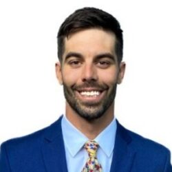
Presented by Clark Yuan, Stitch3D, and Casey Pryor, Basemap Consulting
When the 2025 Wolf Fire tore through Denare Beach, Saskatchewan, it destroyed roughly 200 homes and cut the town in half. Within days, a two-person field team was on the ground with a mission: map 200 acres across five affected zones to support damage assessment, earthworks planning, and community recovery.
Almost nothing went to plan.
Lost luggage claimed critical GNSS equipment before the team ever arrived. A vehicle strike with a pronghorn deer left one operator towed two hours in the wrong direction. On site, there was no RTK network, no CORS stations, and only intermittent connectivity in an active disaster zone where helicopters conducted aerial firefighting missions overhead.
This session tells the unvarnished story of what remote-sensing disaster response actually looks like in the field, and how the team adapted: manually laying ground control across all five zones, running static base observations on rotating four-hour alarm cycles for PPK processing, and coordinating flights in real time with the Saskatchewan Public Safety Agency.
Each night, the team pre-processed and uploaded data over intermittent Starlink connections to a cloud platform that provided immediate visualization and quality checks to confirm coverage, identify gaps, and deliver finalized datasets to the home office the same night the flights were flown. A verification cycle that traditionally takes weeks was compressed into days. The final deliverable — rasters and vectors in a single shared link — enabled the engineering client to immediately calculate fill volumes for cleared foundations, prevent over-excavation at the borrow pit, and plan truckloads and labor hours with precision.
As wildfires grow in frequency and severity across North America, this case study demonstrates how reality capture is shrinking rebuild timelines and getting people back into their homes faster and safer.