
Flai – AI Point Cloud Classification
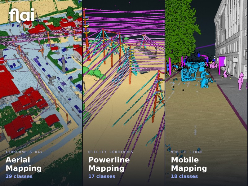
What is it? Flai turns raw point clouds into classified, deliverable-ready 3D data automatically. Built on a pretrained 3D foundation model, it classifies airborne, mobile and terrestrial LiDAR, photogrammetry and bathymetric data to ASPRS standard classes in hours instead of weeks of manual editing. Firms deliver county- and state-scale projects faster with consistent QA, in the cloud, on-premise or fully offline for secure work. Less manual cleanup, more projects per team.
Who is using it? Professional land surveyors, LiDAR processing technicians, photogrammetrists and GIS analysts at survey, mapping and engineering firms delivering for state DOTs, counties and federal programs; vegetation management and asset engineers at electric utilities; transportation and infrastructure engineers; hydrographic surveyors in coastal mapping; and defense and intelligence teams needing 3D terrain data. In use in more than 50 countries.
Product Link: https://www.flai.ai/

Contact:
Luka Rojs
[email protected]