
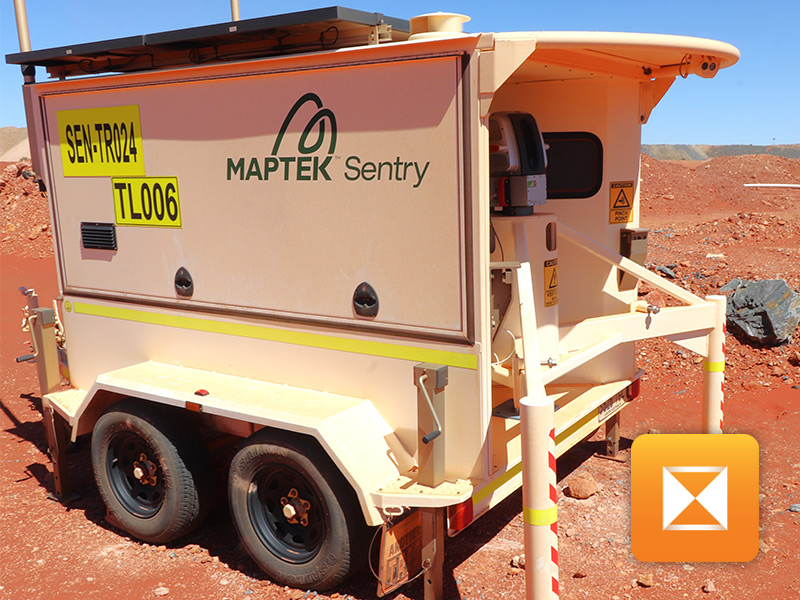
Sentry
What is it? Sentry is a robust slope monitoring solution that pairs a laser scanner with advanced software to track and analyze movement in even the most extreme climates. Its LiDAR detects smaller, faster-moving failure zones, including brittle rockfall. Sentry deploys quickly, and its scanner can move to other projects and return seamlessly to resume monitoring. From multi-zone monitoring to timelapse visualizations, to heatmaps and 3D analysis, it delivers precise, timely reporting for safer operations.
Who is using it? Sentry is relied upon by professionals in mining, civil, utility, and transportation sectors, including geotechnical engineers, survey managers, supervisors, and superintendents. It is ideal for monitoring open pits, underground areas, tailings dams, and transportation systems. Sentry empowers users focused on safety, risk management, and operational planning by providing real-time data and reliable performance in challenging environments.
Product Link: https://www.maptek.com/products/sentry/
Contact:
Bryn Ventura
[email protected]