LumiDB
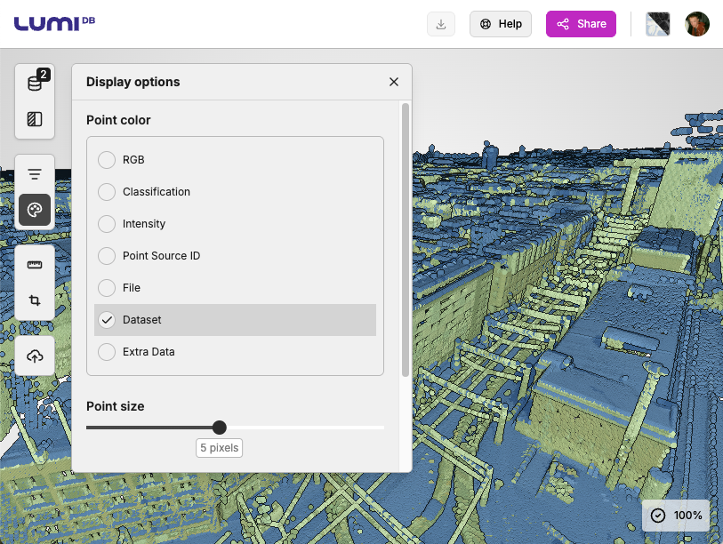
What is it? LumiDB is a data warehouse built for point clouds. It lets infrastructure owners search, crop, and combine massive 3D scans directly in the browser in seconds. Via an open API, CAD, GIS, and digital twin tools connect to the same live data. Projects start days faster, storage use drops, and all teams work from one trusted source of truth.
Who is using it? Used by surveyors, GIS managers, and infrastructure planners in municipalities, mapping agencies, and transport authorities. Anyone managing large-scale LiDAR or photogrammetry archives across teams or departments.
Product information:
Contact: Sampo Lappalainen, [email protected]