
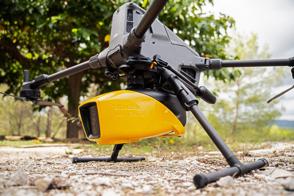
YellowScan Navigator
What is it? The YellowScan Navigator is an all-in-one UAV bathymetric LiDAR solution that maps land and underwater environments in a single flight. Featuring a proprietary 515 nm green laser, it captures seamless 3D data across shorelines, rivers, lakes, and coastal areas with 3 cm accuracy and precision. Combined with YellowScan CloudStation, it offers a complete workflow from acquisition to deliverables, enabling efficient hydrographic, environmental, and infrastructure surveys.
Who is using it? Users:
Surveyors
Hydrologists
Hydrographers
Researchers
Energy providers
Civil defense manager
Natural hazard manager
Product Link: https://www.yellowscan.com/products/navigator-bathymetric-lidar/
Contact:
Florian Caraveo
[email protected]