
SkyGIS
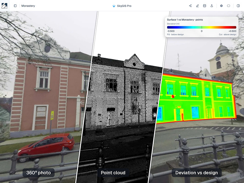
What is it? What is it? SkyGIS puts a project’s entire reality capture – LiDAR point clouds, drone meshes and orthophotos, 360° panoramas, CAD, IFC and LandXML – into one browser tab, in 3D and on the map, and runs the analysis right there: surface comparison and cut/fill, deviation maps, rail clearance, stockpile volumes, volumes by chainage, and orthographic elevation drawings. Nothing to install; share a whole project with a link.
Who is using it? Who is using it? Land Surveyors – Analyze terrain models and integrate cadastral and WMS layers in-browser.
Construction Professionals – Check surface conformance, clearances, and stockpile volumes.
Civil Engineers – Manage native LandXML alignments and track earthwork by chainage.
Architects & BIM Managers – Run scan-to-BIM checks and project 3D models onto panoramas.
Product Link: www.skygis.cloud

Contact:
Bálint Molnár
[email protected]