
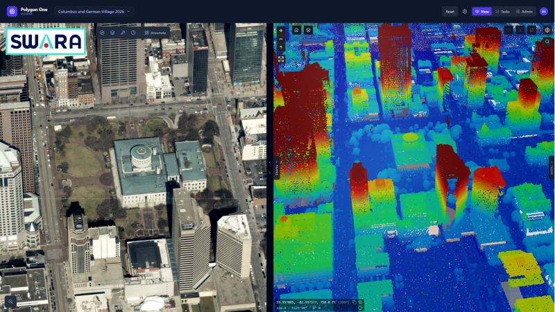
SWARA – the TrinityGeo Viewer
What is it? SWARA is a web-based viewer that brings aerial, oblique, satellite, drone imagery, LiDAR, GIS layers, and AI insights into one browser. Built on cloud-native COG and COPC formats, it streams massive datasets without downloads. Users can explore 3D elevations, measure assets, compare imagery over time, and manage field tasks with offline syncing. Transportation tools include interactive Straight-Line Diagrams and PDF exports. SWARA transforms complex geospatial data into actionable intelligence.
Who is using it? SWARA is designed for state DOTs, transportation agencies, utilities, pipeline and rail operators, local governments, federal and military installations, and AEC firms. Users include GIS professionals, asset and roadway inventory managers, transportation planners, engineers, inspectors, field crews, public works directors, and decision-makers who need fast, accessible geospatial insights without specialized desktop GIS software.
Product Link: https://trinitygeosol.com/

Contact:
Dean Tran
[email protected]