
MVPStudio
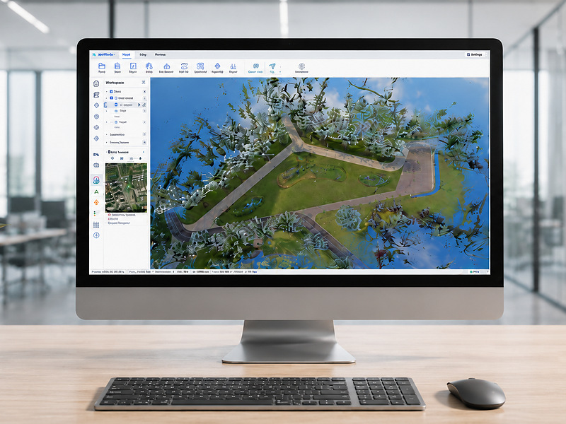
What is it? MVPStudio is an offline Windows platform that turns LiDAR point clouds into survey-ready CAD and GIS deliverables. Assisted extraction produces reviewable floor-plan linework and structured tree inventories, reducing repetitive manual work while keeping operators in control. Built-in volume measurement, accuracy checks and coordinate conversion streamline delivery, with DXF and Shapefile export. LAS/LAZ files from third-party scanners are also supported.
Who is using it? Designed for surveyors, civil engineers, CAD/GIS technicians, reality-capture specialists, and forestry professionals, MVPStudio supports building as-builts, floor plans, earthwork and stockpile volumes, road asset mapping, and forest inventories. In a public field demonstration, Desert Creative Group showed how MVP S1 scans can be processed in MVPStudio for tree counting and measurements such as DBH and height, with CAD/GIS-ready outputs.
Product Link: https://www.tersus-gnss.com/product/mvpstudio

Contact:
Mark Chen
[email protected]