
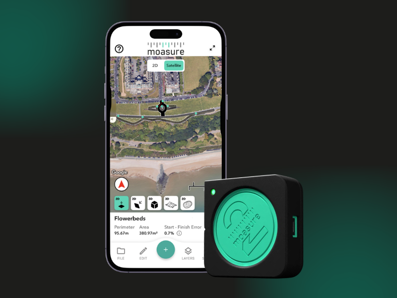
Moasure 2 PRO
What is it? Moasure 2 PRO uses motion sensor-based technology to measure perimeter, area, volume & elevation, creating detailed digital plans of complex shapes & challenging sites. New geolocation functionality lets you position measurements in the real world, even when location data is limited, such as beneath tree cover/near tall buildings. Map separate areas on large sites without measuring between them. View measurements over Google Maps satellite imagery & export for CAD, mapping and design workflows.
Who is using it? Moasure 2 PRO is used by landscapers, landscape designers & landscape architects, surveyors, civil engineers, earthworks contractors & professionals working in concrete, asphalt, fencing, artificial turf, playground installation & many other industries.
New geolocation functionality opens up further applications across larger & more complex sites, including golf courses and underground utilities, expanding the reach of motion-sensor-based measurement into new geospatial workflows and markets.
Product Link: https://www.moasure.com/products/moasure-2-pro

Contact:
Kelly Salmon
[email protected]