
Quantiklab® PaveScan AI
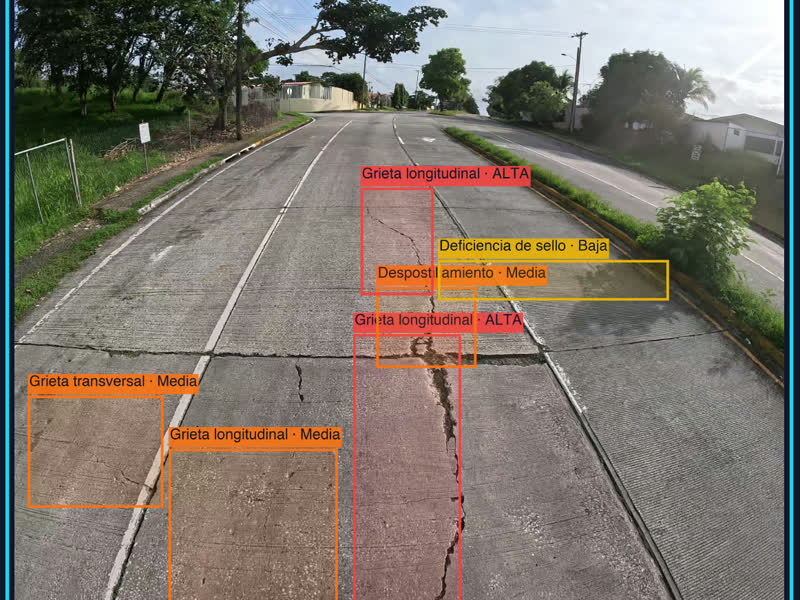
What is it? Quantiklab PaveScan AI turns drone, ground and GPS-video imagery of roads into an automated pavement condition report. Claude vision AI detects and classifies distresses on flexible and rigid pavements, scores each section with the proprietary QSI (QuantikScore Index, 0-100), and generates heat maps and a branded PDF in minutes. Field crews go from flight to report in one session, cutting inspection time and cost for road agencies across Latin America.
Who is using it? Pavement and road engineers, municipal and state public works departments, highway concessionaires, engineering consultancies and drone service providers. Job titles: pavement management engineers, infrastructure directors, road maintenance supervisors, drone pilots and surveying technicians. Currently piloted by G2 Ingenieria para la Construccion in Mexico, with pilots in Panama, Peru and Colombia. Launching at the Ibero-American Pavement Congress, Colombia, November 2026.
Product Link: https://quantiklab-pavescan.netlify.app.

Contact:
JAVIER GOMEZ
[email protected]