
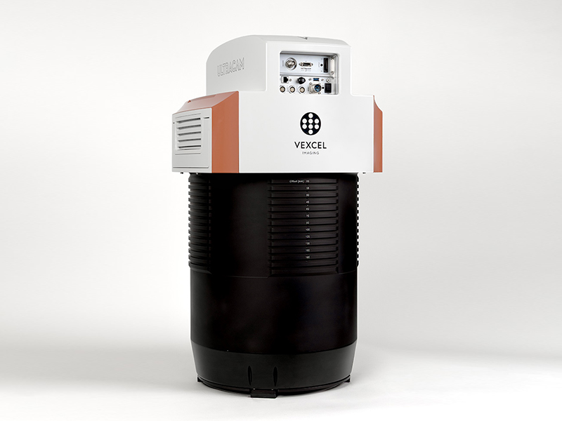
UltraCam Condor 5.0
What is it? The UltraCam Condor 5.0 features the world’s largest aerial camera footprint, capturing up to 83,000 pixels across track. Its unprecedented image swath dramatically increases collection productivity while preserving the geometric integrity required for photogrammetric processing. Combined with UltraMap’s new ML-based reconstruction, it delivers reliable DSMs, DTMs, orthophotos, and 3D products from the largest photogrammetric footprint ever deployed for mapping.
Who is using it? Everybody who wants to map large regions and continents in record time with photogrammetric-grade, stereo-capable imagery. The Condor 5.0 powers Vexcel’s nationwide U.S. aerial imagery program at 7.5 cm GSD, the first program of its kind at this resolution, coverage, consistency, and quality. The system enables national mapping agencies, aerial survey firms, and geospatial data providers to collect high-resolution imagery across vast areas, capturing up to 20,000 km² in a single flying day.
Product Link: https://www.vexcel-imaging.com/ultracam-condor/

Contact:
Angelika Söls
[email protected]