
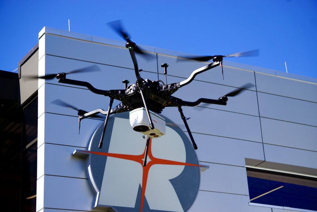
RIEGL VUX-820-G
What is it? The RIEGL VUX-820-G is a compact, fully integrated, NDAA-compliant topo-bathymetric LiDAR solution designed for efficient mapping of both land and underwater environments. Combining a powerful green laser scanner, integrated RGB camera, RiLOC-F INS, and proprietary processing software, it delivers georeferenced, refraction-corrected point clouds with penetration up to 2.2 Secchi depths. Its lightweight design enables deployment on a wide range of UAV platforms.
Who is using it? Hydrographic surveyors, environmental consultants, coastal engineers, and government agencies rely on the RIEGL VUX-820-G for accurate topo-bathymetric data collection in coastal, inland, and nearshore environments.
The RIEGL VUX-820-G helps users achieve:
Simultaneous mapping of land and submerged terrain
Efficient UAV-based bathymetric data acquisition
Accurate shoreline and coastal monitoring
Environmental and habitat assessments
Refraction-corrected point clouds for reliable anal
Contact:
Lexis Hemmersbach
[email protected]