
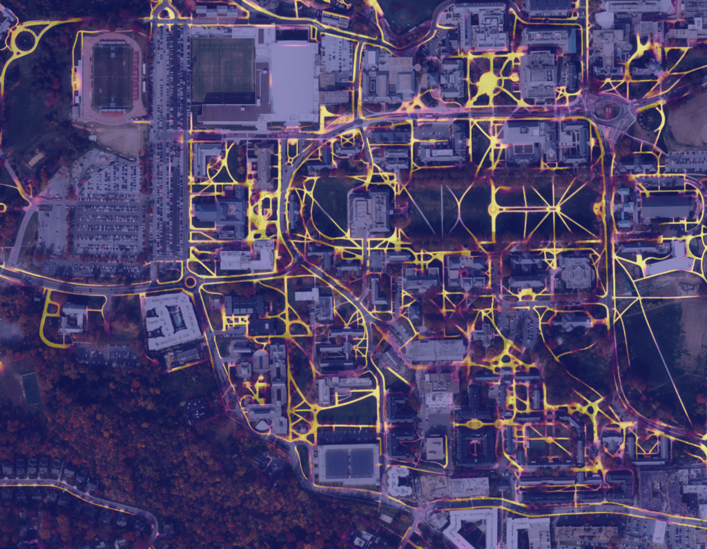
RasterFlow
What is it? RasterFlow is serverless software that makes productionizing AI models for working with satellite and overhead imagery far easier and more affordable than current solutions on the market. It does so by streamlining the entire workflow for overhead imagery and makes it straightforward to run AI models on that data as well as provide the output results to LLMs to answer physical-world questions.
Who is using it? RasterFlow is enabling applications across aerospace, energy, climate, agriculture, finance, logistics and more. As Geo Week’s Abby Hart has written, the USDA Forest Service is using RasterFlow to deliver wildfire containment predictions to its Wildfire Risk Management Division. Another customer example: per Chris Holmes, Fellow at Taylor Geospatial Engine and Planet Labs, “RasterFlow transforms global field-boundary mapping from a huge challenge into a simple set of commands anyone can run.”
Product Link: https://wherobots.com/products/ai-for-earth/
Contact:
Ben Pruden
[email protected]