
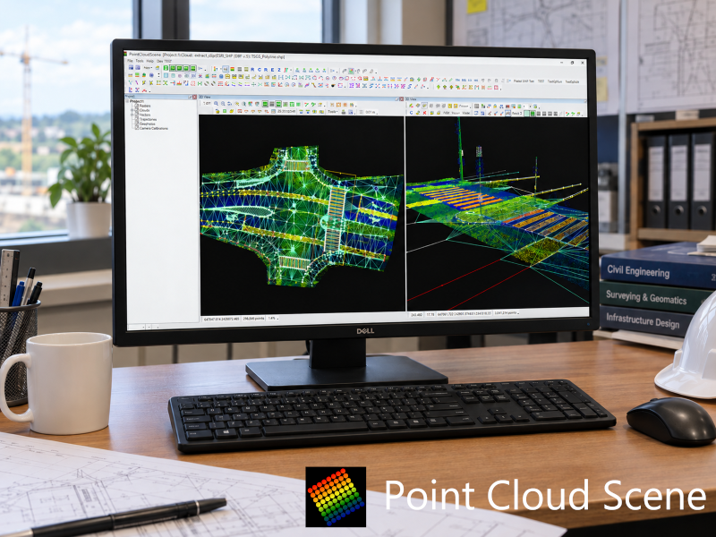
PointCloudScene
What is it? PointCloudScene is a powerful 2D/3D point cloud visualisation and analysis platform designed for surveying, GIS, CAD, and geospatial workflows. It seamlessly handles point clouds, vectors, georeferenced rasters, and oriented imagery in a single environment. With 300+ extraction and analysis tools, users can efficiently generate accurate GIS and CAD deliverables, streamline data processing, and gain deeper insights through advanced visualisation and annotation capabilities.
Who is using it? PointCloudScene is trusted by surveying and mapping professionals, geospatial engineers, GIS specialists, CAD technicians, infrastructure owners, utility companies, and engineering consultants. The platform supports organisations that work with large-scale reality capture data, enabling teams to efficiently process, analyse, and extract actionable information from point clouds, imagery, and geospatial datasets for planning, design, asset management, and digital twin workflows.
Product Link: https://pointcloudscene.com/
Contact:
Balint Molnar
[email protected]