
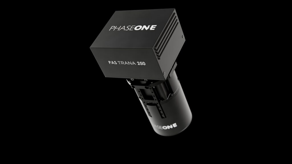
PAS TRANA
What is it? PAS TRANA 250 is a next-generation, compact and modular aerial imaging system built around Phase One’s 250 MP technology. Combining ultra-high-resolution imaging, Hybrid Motion Compensation and efficient IIQ-X data handling, it enables sharper imagery at speed, more efficient data acquisition and scalable processing workflows. Its integrated, flexible architecture supports demanding mapping missions, from large-area surveys to detailed 3D city modeling.
Who is using it? Designed for aerial survey operators, mapping companies and geospatial service providers, PAS TRANA 250 supports large-area topographic mapping, utility corridor surveys and infrastructure mapping. Its 250 MP imaging technology enables operators to capture highly detailed, accurate imagery across extensive areas, improving flight efficiency and supporting reliable photogrammetric processing for mapping, inspection and infrastructure management.
Product Link: https://www.phaseone.com/solutions/geospatial-solutions/aircraft-systems/pas-trana/

Contact:
Anna Moessner
[email protected]