
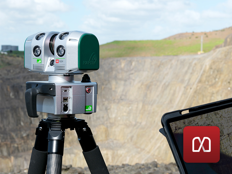
NS4
What is it? The Maptek NS4 is a compact, survey-grade laser scanner for underground mining, surface, tunnelling, and civil environments. It delivers 1,000 m range, 4 mm accuracy, and a 360 × 260° field of view, while the integrated camera and lights capture photorealistic data in any environment. IP65-rated for wet or dusty sites and weighing just 4.3kg, it moves easily between locations to cut setup time. The FieldControl app enables mobile control, and connected workflows speed field-to-office handoff.
Who is using it? The Maptek NS4 is trusted by surveyors, geotechnical engineers, survey managers, and spatial data specialists across mining, civil, and engineering sectors. It supports topographic capture, tunnelling, BIM, digital twins, civil infrastructure, engineering documentation, and forensics and monitoring. Connected workflows move reliable spatial data quickly from field to office, empowering teams focused on accuracy and geotechnical assessment.
Product Link: https://www.maptek.com/products/ns4/
Contact:
Bryn Ventura
[email protected]