
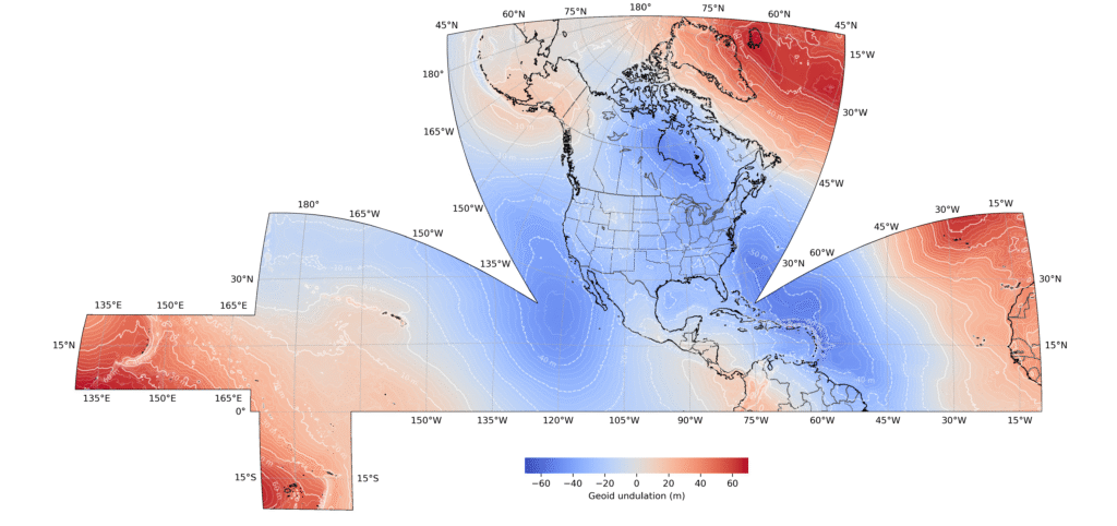
National Spatial Reference System
What is it? NOAA’s modernized NSRS replaces NAD 83 and NAVD 88 with active, plate-fixed reference frames like NATRF2022 and NAPGD2022. By eliminating a 2.5-meter orbit bias and adopting CORS coordinate functions, it enables seamless elevation data across the critical land-water interface. For the Geo Week community, this time-dependent 4D framework enhances lidar, aerial mapping, and digital twins, standardizing coordinates and unlocking over $8.7B in socioeconomic benefits
Who is using it? The modernized NSRS is utilized across diverse public and private sectors. Key users include surveyors in the construction industry, civil engineers in transportation, GIS professionals in city planning, and remote sensing specialists in aerial mapping. It also supports floodplain managers in flood water modeling, emergency managers in disaster response, producers in precision agriculture, and software developers building autonomous navigation tools, among many others.
Product Link: https://beta.ngs.noaa.gov/

Contact:
Galen Scott
[email protected]