
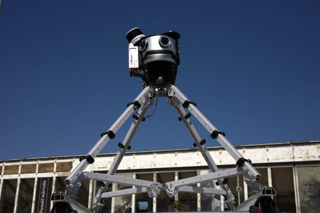
Meridian 2 Mobile Mapping System
What is it? Professional-grade mobile mapping at a fraction of the cost of enterprise systems. One person, one vehicle: deploy, collect and deliver survey-grade LiDAR and 360° imagery from two carry cases.
No calibration before jobs, live view of data during capture, a 2:1 processing ratio and open formats (ESRI, PLS-CADD, TopoDOT) mean faster delivery and no lock-in. Built on a 91.2 MP Mosaic X camera, 32-channel LiDAR and RTK/PPK GNSS/INS for 2–3 cm vertical accuracy, plus automatic face/plate blurring.
Who is using it? Surveyors and geospatial service providers;
utility and telecom engineers doing pole inventories, attachment verification and make-ready engineering;
DOT and highway asset managers mapping pavement and roadside assets;
municipal GIS teams building asset inventories and digital twins (e.g. City of Ottawa);
rail engineers inspecting track-side assets, clearances and vegetation;
infrastructure contractors verifying as-builts, rights-of-way, broadband and grid-hardening corridors.
Product Link: https://www.mosaic51.com/products/meridian-mobile-mapping-system-with-lidar

Contact:
Lynn Puzzo
[email protected]