
Mach9
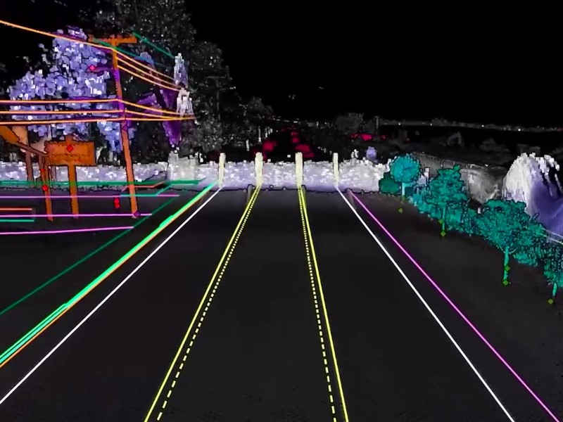
What is it? Mach9 is AI CAD software for civil engineering, starting with surveying. Turn reality capture data into engineering-ready CAD and GIS deliverables with AI-assisted feature extraction. Mach9 automatically extracts roadway linework, utility features, and roadside assets from scan data with centimeter accuracy. Customers are seeing 10x faster extraction per technician and have surveyed over 100,000+ miles and delivered 2,500 projects with Mach9.
Who is using it? Surveyors, survey and CAD technicians, GIS analysts, reality capture specialists, survey and geospatial managers, T&D engineers, and OSP and make-ready engineers at AEC and surveying firms, state DOTs and transportation agencies, telecom and outside plant engineering firms, and electric utilities.
Product Link: https://mach9.ai

Contact:
David Huang
[email protected]