
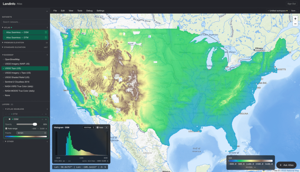
LiDAR Atlas
What is it? Land Info has gridded the entire USGS 3DEP archive along with additional state LiDAR coverages (over 92 trillion points) via a novel cloud-based GPU approach. With near-nationwide seamless elevation off-the-shelf as 1m DSM, DTM & nDSM 32-bit raster, the company enables instant access via new performant tools to stream to a browser or desktop GIS. On-demand detailed and accurate 3D mapping is driving new use cases, including applications requiring AI training data.
Who is using it? While the solution is new, it’s already being well received by multiple user groups including RF engineers optimizing 5G wireless communications networks, electric utility vegetation management, urban forestry, commercial timber estimates, disaster management/emergency response, insurance risk assessment, site planning, conservation, academia and additional 3D visualization applications. Currently covering the USA, the capabilities can be extended to any country with public-domain LiDAR.
Product Link: https://landinfo.com/usgs-3dep-lidar/

Contact:
Nick Hubing
[email protected]