
IRIS
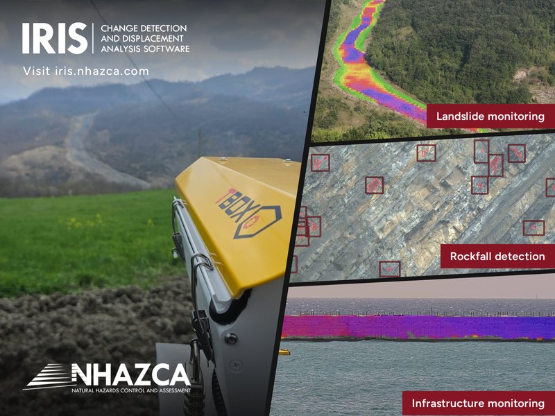
What is it? Landslides, rock slopes and large structures are usually monitored with surveys: expensive, a few times a year, often with instruments fixed to the ground. Between visits, nobody knows what is happening. IRIS changes that. It connects to fixed cameras and turns each one into a continuous monitoring instrument. It measures ground motion and detects changes across the whole scene, with nothing installed on the slope. Engineers, site teams and owners see the same measurements and alerts.
Who is using it? IRIS serves the people responsible for keeping ground and structures safe. Geotechnical engineers and geologists use it to follow landslides and rock slopes. Road agencies and infrastructure owners use it along highways and around dams. Contractors use it on large works while they are built. Researchers use it to study how slopes behave before a failure or a major rockfall, to improve early warning. Each of them gets a continuous, measured view of their site, shared with their team.
Product Link: https://iris.nhazca.com/

Contact:
Alessandro Cesaretti
[email protected]