
Atlas Geo & Atlas Analyst
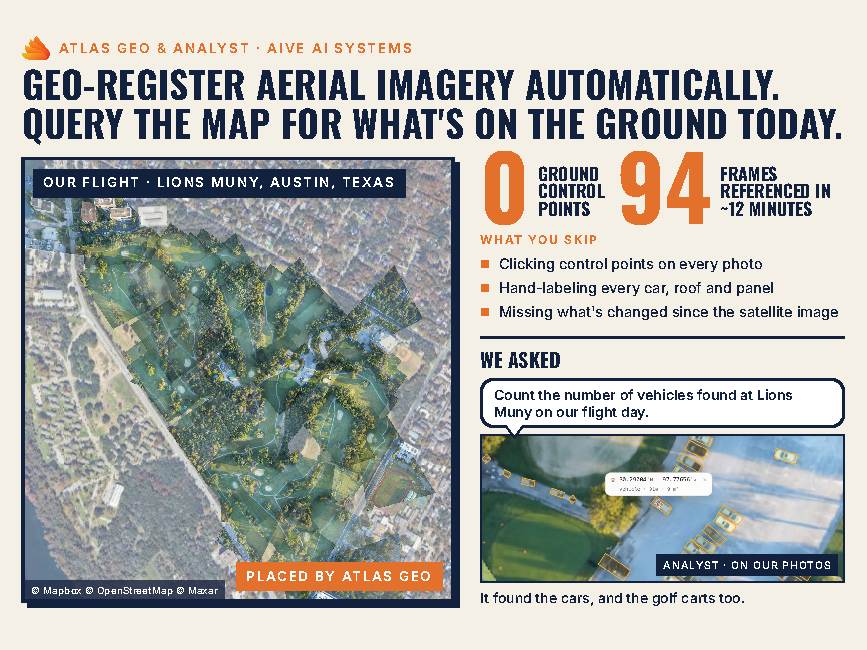
What is it? Atlas Geo puts drone photos on the map without ground control points. It matches each photo to satellite imagery in a median of 6.3 seconds, so you skip laying out targets, surveying them and marking them by hand. Accuracy is 10 cm to 3 m depending on terrain. Next, ask Analyst about the map in plain English: name what to look for, like vehicles or buildings, and it outlines each one it finds, even on your own drone photos. Runs in your browser, free monthly images.
Who is using it? Drone pilots and UAS program managers in construction and engineering. GIS analysts in local government and utilities. Project and site managers tracking construction progress. Inspectors in energy and infrastructure, from pipelines to power lines. Emergency managers and fire departments in public safety. Farm managers and agronomists in agriculture. Surveyors in the construction industry who need quick site context before a full survey.
Product Link: https://aiveatlas.com/login

Contact:
Ryan Gupta
[email protected]