
Webinar
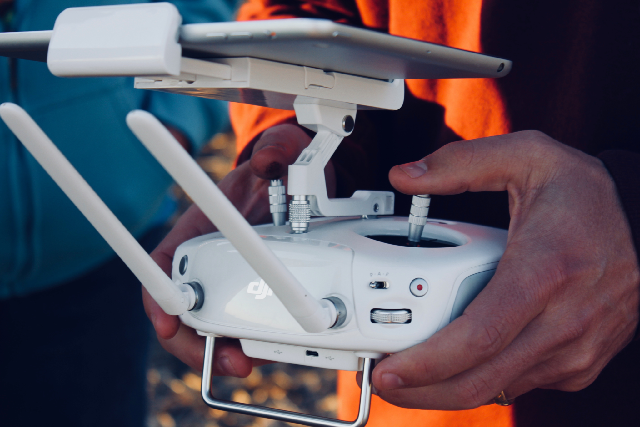
How to Select a Lidar System for UAV Operations
On-Demand Webinar | Free
On-demand Webinar | Free
Regulatory changes allowing for the commercial operation of unmanned aerial vehicles (UAVs) in the national air space are driving a rapid increase in the use of such platforms for survey and mapping applications. The increasing availability of off-the-shelf UAV platforms at prices that are affordable for survey firms allows for the profitable deployment of UAVs on small projects or at an increased frequency than would be achievable or cost-effective using traditional manned platforms. This discussion will highlight what sort of considerations that users and organizations need to consider when making these decisions.
Speakers

Martin Flood, Vice President, Special Projects, GeoCue

Scott Harrigan, Owner/President, Harkin Aerial

Mary Wohnrade, Owner/President, Wohnrade Civil Engineering

Brendan Thompson, Managing Partner, Wohnrade Civil Engineers
Moderator

Danielle Gagne, Editorial Analyst
