

Founded by a former forestry surveyor, Blue Marble Geographics started by developing simple tools for GIS professionals. Based in Hallowell, Maine, Blue Marble Geographics has grown into a company providing tools across many aspects of GIS, and geospatial mapping. A quality that sets them apart from competitors is their dedication to providing tools that are affordable and that are designed to be intuitive and easy to use.
Patrick Cunningham moved into the role of President in 2004, and through his leadership, Blue Marble Geographics has focused their development towards cutting edge geospatial solutions. Cunningham and his team are responsible for the acquisition and integration of Global Mapper into the suite of Blue Marble solutions, as well as continuing to expand their Geographic Calculator offering for geodetic and positional data processing. Geo Week News caught up with Cunningham to get an update on Blue Marble Geographics, and the future of geospatial tech.
How do your products work to break down the costs and usability barriers usually associated with geospatial tools?

Patrick Cunningham – Blue Marble Geographics
“Our usability focus comes from our customer-driven development. We’ve always taken the approach to respond to customer feature requests and suggestions and to build from that. Our customers are the experts in GIS and geospatial, so we listen to them very closely. A lot of what we’ve added into the software comes from their recommendations and feature requests. Additionally we have a very active beta testing community for every release.
Some of the other software and technology companies that are dominant today in the industry have lost that focus, so a lot of what they do is not driven by users. That makes their software hard to use – and sometimes customers can’t even load data into their products without without asking for help.
We’ve always approached the market trying to keep a low cost of entry in our product offering. We realized that over time, especially in the last decade, as open source has become more prevalent and some of the bigger commercial entities have solidified their position in the marketplace with expensive offerings, that affordable was a good place for us to be. As an alternative offering; it isn’t free like open source, but it is reasonably priced. And what you are paying for is that support and expertise that comes with buying off-the-shelf software.”
How else do your applications differ from traditional GIS applications?
“I think the biggest value we bring is that we are trying to tackle the hard stuff – that’s always been a part of what we do. First, we were known for being a “coordinate conversion” or “data translation” company. Those are the fundamentals of mapping; the math underneath the map that makes it accurate, and deals with all the problems of mapping a round surface onto a flat surface, or going from 3D to 2D and back again.
We try to give our customers the tools to go as deep as they need to with those challenging aspects of processing data. Alternatively we can step back and make it easy to use knowing that there may be entry-level users trying to process complex data. Coordinate conversion is one of those really hard areas that GIS people and surveyors struggle with. We’ve always been the ones that try to solve those problems for as many people as possible.”
You started at Blue Marble Geographics in 2003. How different is geospatial technology and the industry now compared to when you started seventeen years ago?
“When I started, 3D wasn’t really something that software was doing in GIS and mapping. There were some solutions, but very few. The hardware, software and pipe at that time was just not up to the task of visualizing or processing such large datasets.
Then we saw the release of Google Earth, which expanded the GIS landscape. The commercial release and advent of lidar also dramatically changed things but on the business side. And then mobile phones as well. We all have GPS mapping tools in our pockets every minute of the day, and the current sensors are way more accurate than anything that was professional and handheld when I started.
It has been a great opportunity to evolve as these things are combining together, and a great opportunity to make sure that we’re staying ahead of the curve and pushing what we do.
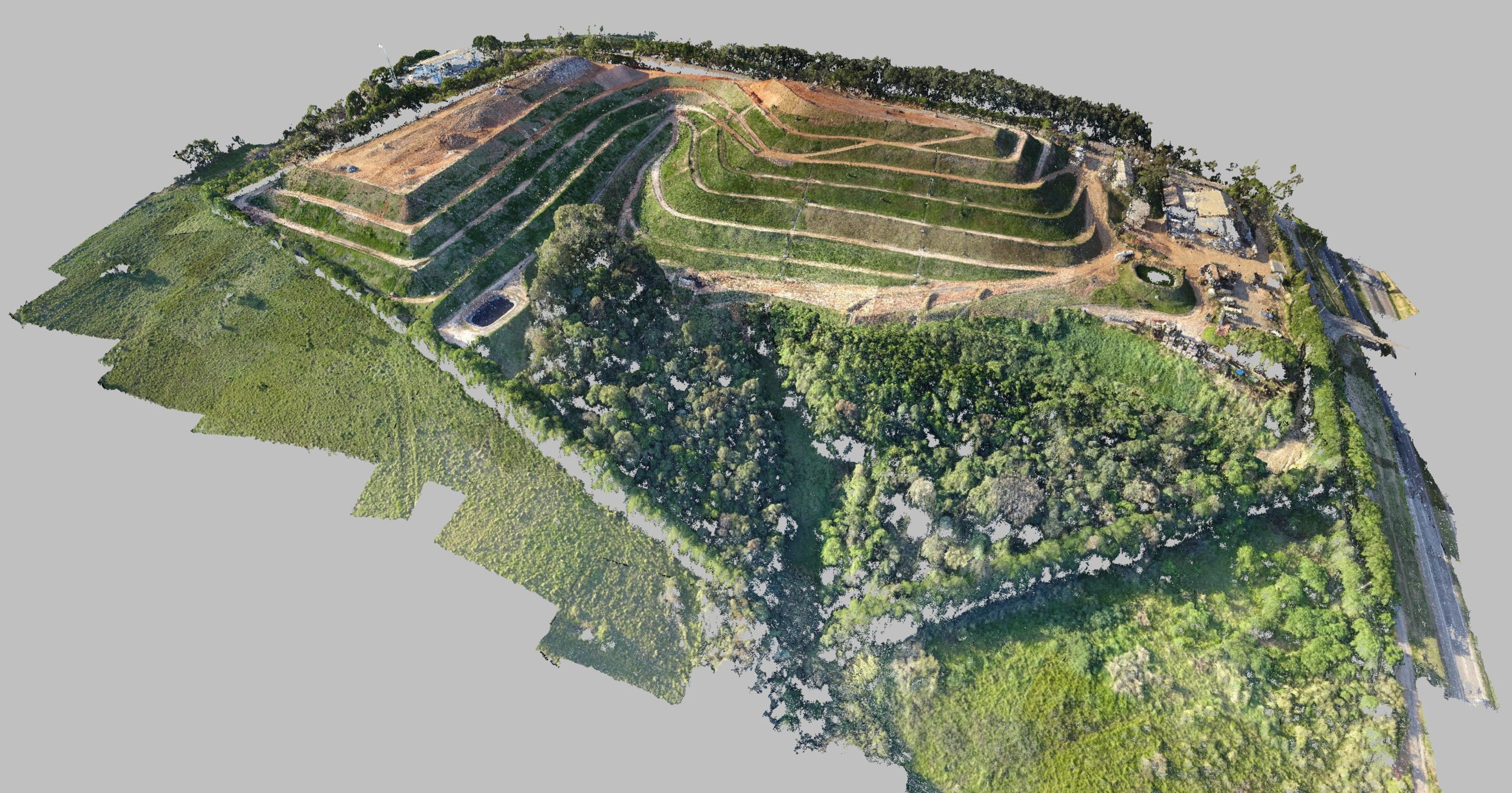
Now we can do all these crazy things. We have a drone imagery processing solution called Pixels to Points which can take drone-collected imagery make a 3D point cloud out of it, and essentially take raster or spatial imagery and translate to vector, translating that to a point file. That was not on the radar when I started in 2003.”
Speaking of drones, how has the rise of UAV and UAS impacted the direction of Blue Marble’s development?
“It has pushed us to innovate. Our customers are surveyors and GIS folks, so we already had a great lidar solution in our Global Mapper product. People started coming to us as soon as [drones]were coming to market and they wanted to work on flight planning, imagery processing and they also wanted to create point clouds from the drone-collected imagery.
Just over the past couple years, the fact that you can buy a drone with a camera on it for a few thousand dollars, and relatively easily get certified by the FAA as a drone pilot – that just opens a whole new line of business for a lot of people. So we’ve been working with our customers who are now anyone from police departments mapping crime scenes, surveyors doing real estate work, scientists trying conducting high resolution tidal research sending a research drone up over the coast.”
Are you seeing that lowering the barrier to entry (by increasing usability and decreasing cost) has increased adoption for those that were not using geospatial tools before, or is it adding to a toolset that geospatial pros already have?
“I think there has definitely been what you can call a democratization of data. Having a low cost of entry has helped us to grow, for sure. And our software is also big for the drone customers who have purchased a drone, and are at the “I’ve got a drone, now what?” stage. And not just in the US, it’s world-wide, we’re seeing people that might not have big budgets and need affordable and reliable technology. We are hearing from people all the time that are trying new things.”
What’s coming up, and what should users expect in 2020 from Blue Marble?
“We now have a professional version of our Global Mapper mobile app that we released last fall, and that’s another thing that we are excited about. A new release of Global Mapper (version 21.1) was released this month.
We are also partnering with a new online mapping solution called Mango Maps, so we have a whole new set of field tools for our customers to use with our Global Mapper offering.
What we are working on in research and development is more around lidar processing, and developing better techniques for capturing and processing point cloud data so that we can get better extractions of features and geometry.”
What do you see on the horizon for the geospatial industry that might push you to develop in new or different areas? Anything game-changing out there?
“What we’ve been talking a lot about is that mapping is no longer top down like a paper map, right? Its 3D, its immersive. And people expect that, so for the GIS professional and the surveyor, they are asking for more tools in that area.
We have a lot of interesting tools for processing lidar data, to make intelligence out of what the scan is covering, whether it is trees or buildings. And more than ever, people are asking for even more detail. They need to classify the points and extract features, make things out of the points, and other types of data, so that’s definitely going to be pushing us.
The other less sexy thing on the horizon is that there is a new North American Datum (NATREF) coming out in 2022 from NOAA and the National Geodetic Survey. It is a more accurate Earth model for North America, and we are ready for that. Our customers are kind of nervous about how they are going process all the data that they need to meet all the new requirements, so we are definitely ready for it.”


